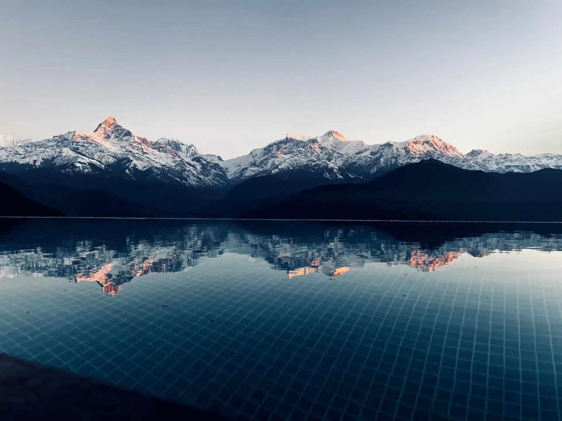
Introduction to my plan for an epic adventure in 2020.
This video, using Google Earth Studio, does an elliptic around the Wind River Range at an altitude of about 16,000 feet.
My plan is to make an attempt at the Wind River High Route. It most certainly won’t go exactly as planned. I’ve been a project manager for nearly 20 years and it’s rare for a project to go exactly as planned. And maybe even more rare for long trips in the wilderness to go as planned. Nature is a complex system full of beautiful chaos. Starting is easy, but the plan after that has to be flexible.
Success will be having a good time safely experiencing the beauty of a wild place. Finishing the entire route will only be because of a lot of hard work and probably just as much luck.
We plan to spend eight days and seven nights in the backcountry, but we will spend a lot more time than that planning and training. That’s the price required to manage risk. Some of that planning is thoroughly understanding the route and the environment. As planning and training continue, I’ll bring you along for the ride. I hope you enjoy!


One thought on “2020”