
Day 6 was planned for 12.28 miles so we made it another early start. We woke up at about 5:00 AM literally freezing in the dark.
After five days in the backcountry, we had become accustomed to highs of about 80 F. and lows of about 40 F. I normally had been checking the weather forecast for our latitude and longitude each night. However, I forgot to check it the previous night. We were now on the West side of the Continental Divide and the weather was a lot different than we had become accustomed to. The low temperature over night got below freezing. This was evidenced by the frost that was covering our tents. It didn’t matter that it was August 2nd.
I had also washed a pair of my underwear the previous night, but they weren’t dry yet when we went to bed. I thought it would be a good idea to leave them hanging on my tent over night so they could dry a bit more. They were frozen solid when we woke up. Here is a picture, lit by my headlamp, of them standing on end.

Since I didn’t know how cold it was going to get overnight I hadn’t put the electronics in the sleeping bag with me. As a result, most everything had a pretty low charge from the freezing cold. My Sherpa battery, which we used to keep the GPS, and everything else, charged was now down to 20% charge. We needed to get the charge back up somehow, but the solar panel hadn’t previously been able to re-charge the Sherpa that quickly. Some trail luck and a little tweak later in the day would help out.
However, I had to go into a low texting mode and configure the inReach Explorer for fewer real-time updates for those following along.
We were back on the trail by 7:30 AM and after only about a half of a mile we came to the Snake River, and had to cross it. The trail crossed at a spot where we would have to get wet. We explored for a few minutes and found a spot where we thought we might be able to balance across a log to get across. However, the log was not that thick and the weak end of the log was on the opposite side of the river in such a way that it would likely break while we were halfway across. I was able to pull the log towards us and flip it so that the strongest part of the log was over the water. By shortly after 8:00 AM we were across the Snake River and didn’t have to get wet doing it. The day was off to a good start.
Below are some pictures from our morning hike around the Snake River crossing. You can still see frost on the bushes.


We snapped pictures of various signs along the way. This wasn’t only to capture them for memories, but they would be useful to refer to if we ever thought we got turned around or off track. We took a picture of every campsite marker along the way for the same reason.


After about three miles we had to cross back over the Snake River. It was about 10:30 AM. Shortly after that the Snake River started running through a canyon and the trail started a lot of ups, downs, and winding around the canyon. The river would run through this God forsaken canyon for about 8.5 miles. There was no shade, no clouds, and it got up to about 82 F. This made it hotter than any other day in the backcountry. We would certainly feel it. Even though we were following the path of the Snake River, we were high up on the canyon with no access to the river. We wouldn’t have a water source for over eight miles. After over four hours in the canyon, we were out of water and feeling a bit of dehydration coming on.


Below we could start to see the end of the canyon and Mt. Sheridan off in the hazy distance. Heart Lake sits below Mt. Sheridan, but we wouldn’t make it there until Day 7.


The flowers were beautiful but we just wanted to get out of the canyon and get some water.

Starting at the Fox Creek Patrol Cabin our route was on the Continental Divide Trail (CDT). There are three major thru-hike trails in the U.S. There is the Appalachian Trail which is about 2,100 miles, the Pacific Crest Trail which is about 2,600 miles, and the CDT at about 3,100 miles. All require thru-hikers to achieve a pretty specific schedule due to the harsh Winters at their Northern most ends. It was obvious that all of the Northbound CDT thru-hikers we met were feeling the looming pressure of September in Glacier Mountain National Park which is where the CDT ends. The CDT runs from the U.S. Mexican border to Canada through the five states of New Mexico, Colorado, Wyoming, Idaho, and Montana.
When the very first CDT thru-hiker passed us he asked us if we had been around the Old Faithful area recently. He was interested to know how many tourists were there. He didn’t look happy when we told him that it was jam packed with tourists. He was obviously in a rush. He had a package to pick up at the Old Faithful Post Office and he had to stop at the Backcountry Ranger Office to pick up a permit. He would probably have to spend at least one or two nights hiking through Yellowstone. He wasn’t really looking forward to negotiating through the crowds.
Although it seems odd, we saw more people on the CDT than we saw on our first five days combined. Most were thru-hikers that had started at the U.S. Mexican border approximately five months earlier. They still had about another month on the trail before they would reach the Canadian border. They didn’t talk much and hiked a lot faster than we did, but we still learned a few things from them.
I learned my first lesson from the first CDT thru-hiker that passed us. He had a solar panel smaller than mine, but he had it mounted on his pack a little differently. I had hung mine with all three panels hanging vertically down the back of my pack. I noticed that he had his with one panel on top of the pack and the other two panels hanging vertically. The light bulb went on for me. I realized that having at least one panel facing straight up to the sky would help it pull more energy from the Sun. This combined with our Northward travel meant that I was able to capture more of the Sun’s energy than I had in the first five days. This helped us get the Sherpa battery charged back up to about 40%. They say that the trail provides and I believe that it does.
You can see below that I now had my solar panel hanging differently. That is Mt. Sheridan in the distance to the right.

We met our second CDT thru-hiker while in the canyon we nicknamed Hell. She asked about the guy that had passed us earlier and how far ahead he was. I think she was trying to catch up to him. She said that they both started at the U.S. Mexican border about the same time and that they had camped together often along the way. Even though she was also in a hurry, we were able to keep up with her long enough to ask a few questions.
As I have noted from previous days, it often took us a long time to cross large creeks or rivers because of the time it took us to remove shoes, and sometimes clothes, in order to get across and still have dry shoes and clothes. Of all the things I could have asked, I was most interested to know how thru-hikers handled water crossings. I knew they were in a hurry and would have figured out the quickest way to navigate such obstacles. So, I asked her what she did when she came to a water crossing that was too deep to keep her shoes dry. I wasn’t too surprised when she said that she just walks on through in her shoes. She was wearing trail runners. Particularly on hot days shoes and socks dry out pretty quickly while hiking. From here on out we just walked across water crossings.
The first two thru-hikers we met this day had packs that were slightly larger than a kids school backpack. I’m just guessing, but they probably weighed between 20 and 30 pounds. My backpack is an Osprey Atmos 65 litre. I had it packed to capacity with about 55 pounds of food and gear. I was only in the backcountry for eight days. Now granted, we had planned for nine days and we were carrying all of our food for nine days. Thru-hikers generally carry five to seven days of food and then resupply at various points along the trail. However, it was still obvious that I could have packed lighter.
Next we met a family of six, mom, dad, and four teenage boys, that were on day three of seven in the backcountry. They were about to cross through the Canyon of Hell in the opposite direction as us. We warned them to get water at the next creek because they wouldn’t have another water source for another eight or nine miles.
We met a couple that were going Southbound and section hiking the CDT for about 500 miles. They had started somewhere in Montana and were getting off somewhere just after Yellowstone. The gentleman was British and they had stopped to let some gear dry out and fix a cup of tea. We talked briefly and then moved on.
The next thru-hiker we met was going Southbound all the way to Mexico. He appeared to be in his late sixties. He had stopped at a creek for some water. He had a “monster” pack that was almost larger than Zachary’s pack and my pack combined. I asked him how much his pack weighed. He said 80 pounds. We talked a little bit about his pack weight. He said he knew that he was way heavier than most thru-hikers, but he wasn’t in a hurry. He said he carried about 14 days of food. We warned him about the Canyon of Hell and where the last water source would be before he got deep into the Canyon. By this time it was about 3:15 PM and I thought it was pretty risky for him to be trying to get through the canyon today with an 80 pound pack. Without being to intrusive, I tried to let him know that it was a rough 8 or 9 miles without water an no place to pitch a tent. We wished each other luck and moved on.


Here are a couple pictures of a woodpecker at 8C5.


We arrived at 8C5 about 4:00 PM. The campsite was nuzzled in some trees close to the Snake River and was pretty nice. We processed water, took showers, cooked, ate, cleaned up, and gathered fire wood. While collecting fire wood by the Snake River it became obvious why it is called the Snake River. We saw a few snakes slithering around the rocks along the river bank. By about 8:15 PM we had our chores done and we were able to relax a bit around a fire. Before dark we searched for a nice place to pitch our tents, but all of our options were fairly bumpy. It proved to be one of the most uncomfortable nights due to the bumps in the ground. We went to bed at about 10:00 PM.
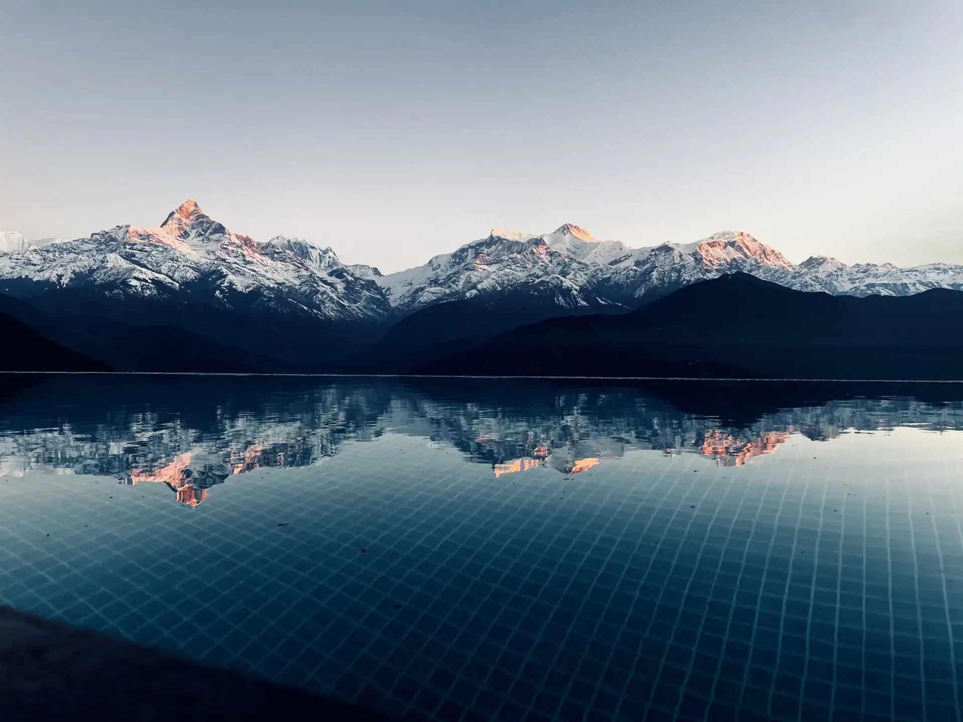
This was the view to the North from our tent area. The large mountain is the South side of Mt. Sheridan. We would have to navigate around to the left of the ridge with pine trees and then traverse along the foot of Mt. Sheridan. Heart Lake is behind the ridge of pine trees.

